


GIS is a powerful tool used to solve queries, link databases to maps, create visual representations of statistical data, and analyze how locations influence features and events.
UW-Stout Polytechnic's Geographic Information Systems (GIS) Minor will prepare you with the skills necessary to analyze and solve spatial problems and identify geographic patterns.
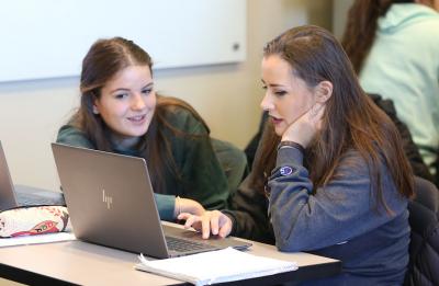
You will study where things are, how they got that way, and learn to identify patterns in how things are distributed. You will receive hands-on experience with state-of-the-art GIS and GPS equipment.
Well-qualified GIS specialists are in demand in the areas of business administration, community and government organizations, crime prevention and emergency response, environmental science, social science, and physical sciences, land-use and transportation planning, property management and real estate, supply chain management, and urban and regional planning agencies.